Table of Contents
ToggleThe many transportation options
London’s metro system is the 11th largest metro system in the world. However, the “Tube” as Londoners call it is not the only way to get around London. More about how to use the public transportation is here. Trainline totally helps this process! There are actually 6 extensive public transportation options.
- The Underground: “The Tube”
- Bus System
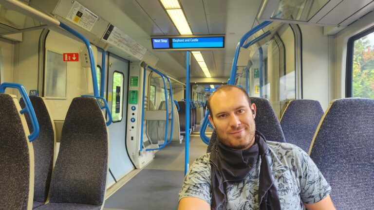
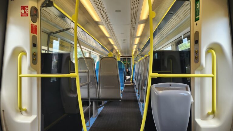
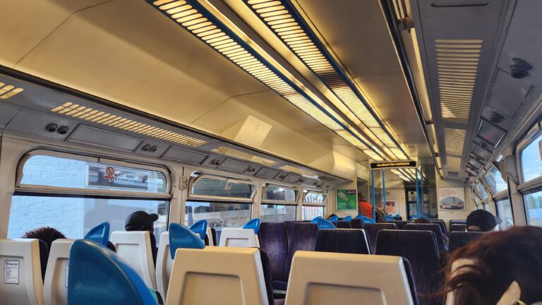
- Trains, both local and national
- Trams
- DLR
- Bicycles
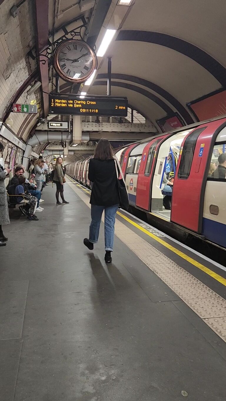
London Underground Transportation "The TUBE"
The London Tube, also known as the London Underground, is an iconic transportation system that weaves its way beneath the bustling city of London. Spanning a vast network of tunnels and tracks, the Tube plays a crucial role in the daily lives of Londoners and visitors alike.
Network Facts
The London Tube boasts an extensive network, covering approximately 250 miles (400 kilometers) of tracks. This remarkable labyrinth of tunnels connects 270 stations, making it one of the most comprehensive underground railway systems globally. From the vibrant heart of central London to the far-reaching suburbs, the Tube efficiently navigates the city, making it an essential part of London’s transportation infrastructure.
History
The London Tube has a rich history, with its first section opening way back in 1863. Today, it operates 11 lines, each with its distinct color on the iconic Tube map:
- Bakerloo Line (Brown): From Harrow & Wealdstone and Queen’s Park in the north to Elephant & Castle in the south.
- Central Line (Red): From Epping or Hainault in the east to Ealing Broadway or West Ruislip in the west.
- Circle Line (Yellow): A loop line that connects various central London stations, running alongside parts of the District and Hammersmith & City Lines.
- District Line (Green): From Upminster in the east to Wimbledon or Richmond in the west.
- Hammersmith & City Line (Pink): From Hammersmith in the west to Barking in the east, running alongside parts of the District Line.
- Jubilee Line (Silver/Grey): From Stratford in the east to Stanmore or Wembley Park in the northwest.
- Metropolitan Line (Magenta): From Aldgate in the east to Amersham, Chesham, or Watford in the northwest.
- Northern Line (Black): Divided into two branches:
- -Charing Cross branch: From Morden in the south to Camden Town, then either via Bank to Edgware or via Charing Cross to High Barnet or Mill Hill East.
- -Bank branch: From Kennington in the south to Camden Town, then via Bank to High Barnet or Edgware.
- Piccadilly Line (Dark Blue): From Heathrow Terminal 5 or Heathrow Terminal 4 in the west to Cockfosters in the north
- Victoria Line (Light Blue): From Brixton in the south to Walthamstow Central in the northeast.
- Waterloo & City Line (Turquoise): A short shuttle line running between Waterloo and Bank.
The map itself, designed in 1931 by Harry Beck, is famous for its simplified and geographically distorted layout, making navigation more user-friendly.
Additionally, the Tube is the oldest metro system in the world, and some of its deep-level lines pass underneath the River Thames, presenting engineering marvels that have stood the test of time.
Daily Ridership
On an average workday, over 4 million people utilize the London Tube, making it one of the busiest underground systems globally. Whether it’s Londoners commuting to work, students heading to school, or tourists exploring the city, the Tube efficiently moves the masses day in and day out.
London is a top destination for travelers from around the world, and many of them rely on the Tube to explore the city’s renowned attractions. Tourists are a common sight on the trains, eager to visit landmarks like the Tower of London, Buckingham Palace, and the British Museum—all easily accessible via the Tube.
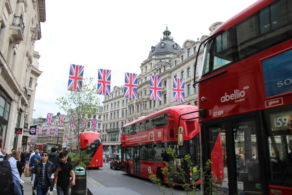
London Bus System
The city’s bus system is an unsung hero that weaves its way through the bustling streets, carrying millions on daily adventures. Although it might be slower then the tube, it can give tourists a very cheap tour of the most iconic sights.
Network Facts
The London bus system operates an extensive network that spans approximately 700 routes, totaling thousands of miles across the city. These vibrant red double-deckers and single-decker buses traverse diverse neighborhoods, providing a crucial link to areas that may not be directly served by the Tube.
When it comes to experiencing the best tourist routes on London buses to see the most sights, there are several routes that offer a delightful journey through the city’s iconic landmarks and attractions. Here are some of the top routes:
Route 11: This classic route takes you on a scenic journey from Liverpool Street Station to Fulham Broadway. Along the way, you’ll pass St. Paul’s Cathedral, the Houses of Parliament, Big Ben, and the Victoria and Albert Museum, among other notable sights.
Route 15: Running between Trafalgar Square and Tower Hill, this route allows you to admire the splendor of the Thames while passing landmarks like the Tower of London, the Shard, and St. Paul’s Cathedral.
Route 24: Starting at Hampstead Heath and ending at Pimlico, Route 24 offers a picturesque ride through central London, passing Madame Tussauds, the British Museum, and Westminster Abbey.
Route 9: Connecting Aldwych and Hammersmith, Route 9 takes you through the vibrant West End, passing Covent Garden, the Royal Opera House, and the Natural History Museum.
Route RV1: This heritage route from Tower Gateway to Covent Garden showcases London’s South Bank, offering views of the Tower Bridge, the Tate Modern, and Shakespeare’s Globe Theatre.
Route 88: Operating between Clapham Common and Camden Town, this route passes through trendy neighborhoods like Camden Market and the famous Abbey Road crossing.
History
London buses have a rich history dating back to the 19th century when horse-drawn carriages plied the streets. Today, iconic red buses continue to be a symbol of London’s transportation heritage. The Routemaster, introduced in the 1950s, is an iconic double-decker bus with an open rear platform—a beloved symbol of London’s past that still occasionally graces the streets.
Another interesting aspect of the London bus system is its commitment to sustainability. In recent years, Transport for London (TfL) has been working on transitioning to cleaner, low-emission buses, contributing to the city’s efforts in reducing its carbon footprint.
Daily Ridership
London buses are a lifeline for millions of commuters and travelers every day. On average, over 6 million journeys are made on London buses daily, making them one of the most extensively used modes of public transportation in the city.
Local Trains and National Rail Services
London’s rail services crisscross the city and extend beyond the London area network. There’s two London only local train lines; London Overground and the Elizabeth Line. The Elizabeth Line is often called a tube line but in fact it is a crossrail train. According to Transportation for London (TfL), the Elizabeth Line is not a tube line because it uses a large amount of the National Rail network and the trains are much bigger then those on the Tube lines.
In addition to the local trains, main rail operators connect London stations to other cities across the United Kingdom. The main rail operators connecting the city centre to Greater London and beyond are:
Network Facts
Per the national rail map there are currently 27 rail operators that make up the National Rail Network. You can refer to this map here.
History
My first question was why are there so many rail companies all using the same stations, same tracks, same….everything. They just go different directions. Well turns out the history spans centuries.
Early Railways and Industrial Revolution (Early 1800s):
– The first public railway in the world, the Stockton and Darlington Railway, opened in 1825. This marked the beginning of the railway era and played a crucial role in the Industrial Revolution by facilitating the movement of goods and people more efficiently.
Railway Expansion (Mid 1800s):
– The mid-19th century witnessed “Railway Mania,” a period of intense speculation and investment in railway projects. This led to rapid railway construction across the UK, connecting cities, towns, and industrial centers.
– The establishment of multiple railway companies during this era laid the foundation for the diverse rail network seen today.
Consolidation (Late 1800s):
– The late 19th century saw a process of consolidation among numerous smaller railway companies. This was driven by the need for efficiency, competition, and standardized operations.
– Larger companies emerged, known as the “Big Four”: Great Western Railway (GWR), London and North Eastern Railway (LNER), London, Midland and Scottish Railway (LMS), and Southern Railway.
Nationalization and British Railways (Mid 1900s):
– After World War II, the British railway system faced challenges such as competition from road transportation and inefficiencies resulting from fragmentation.
– In 1948, the railways were nationalized, and the “Big Four” were merged into British Railways (BR). This period aimed to centralize management and streamline operations.
Privatization and Modernization (Late 1900s – Present):
– Starting in the 1990s, the UK government embarked on a process of privatization and restructuring, leading to the creation of the National Rail system. Now it consists of multiple privately operated train operating companies that provide passenger services under franchise agreements.
– This structure aims to introduce competition, innovation, and improved services. However, it has also faced criticism for issues like fare complexity and coordination between different operators.
Daily Ridership
On average, the daily ridership across all National Rail services can range from around 3-6 million passenger journeys. This includes the Elizabeth line and the Overground. This data is from The Office of Rail and Road for April 2022 to March 2023.
Trams
The lime green trams and signs are a very modern addition to the transportation options around London. These trams are only available in the southern edge of London.
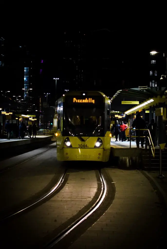
Network Facts
London’s tram network, known as the Croydon Tramlink, covers approximately 28 miles (45 kilometers) of tracks. This network connects Croydon, Wimbledon, and Beckenham. It is used more by locals than by tourists but it is a unique experience for tourists.
History
The tramlink infrastructure started construction in the 1990s. The first phase of the Croydon Tramlink, connecting Croydon with Wimbledon, officially opened to the public on May 20, 2000. Construction continued adding more and more stations and extending the network.
Daily Ridership
The Croydon Tramlink is a popular choice for daily commuters. With an average ridership of over 30,000 passengers per day, these trams play a significant role in the daily routines of Londoners.
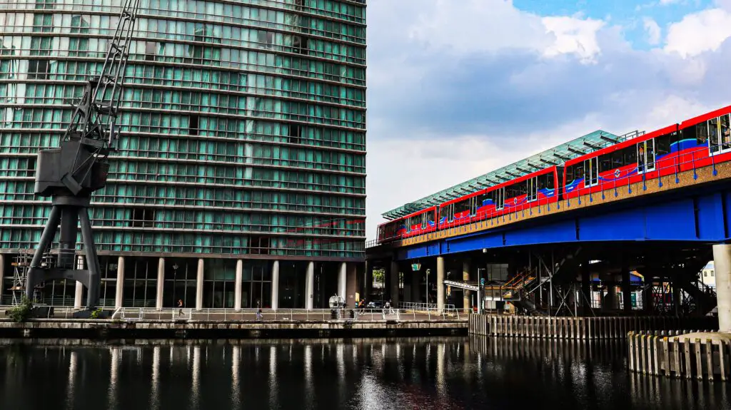
DLR: Docklands Light Rail
Similar to the Trams, these driverless trains offer commuters a quick and efficient way to get from central London to the eastern side. Canary Wharf is the business and financial capital of London and this light rail suits the progressive attitude of the area.
Network Facts
The Docklands Light Railway spans approximately 25 miles (40 kilometers) across the city. This network navigates the ever-evolving Docklands area, connecting key destinations in East London.
History
Construction began in 1984, and the DLR officially opened on July 31, 1987, ahead of schedule. The initial network spanned 11 miles (18 kilometers) and included 15 stations. Expansion continued through the 2000’s.
Daily Ridership
The DLR is a lifeline for London’s commuters, with a daily ridership that’s nothing short of impressive. On average, over 400,000 passengers trust the DLR to take them where they want to go. Again, this system is not used by tourists as much as the tube or busses are.
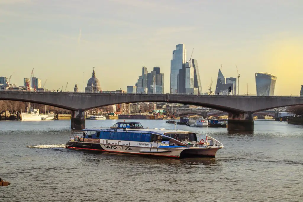
Uber Boats
What better way to cross the River Thames then by boat! Uber boats criss cross the river all day long and are reserved quickly through your Uber app. With 24 piers to choose from, your journey could be on par with a river tour!
Network Facts
The London Uber Boats network encompasses approximately 8 miles (13 kilometers) of the River Thames, charting a course that connects key points along the iconic waterway.
History
Before it was known as Uber boats, it was Thames Clippers and it was more about the commuters, then the tourists. Thames Clippers began back in 1999, then soon realized tourists wanted a leisure route added to the typical commuter routes. Then in 2017, they partnered with Uber and in 2019 they rebranded to be Uber Boat by Thames Clipper.
Daily Ridership
The London Uber Boats cater to an impressive number of daily commuters and leisure travelers. With an average ridership of around 4,000 passengers per day, these boats have become a popular choice for navigating the Thames.
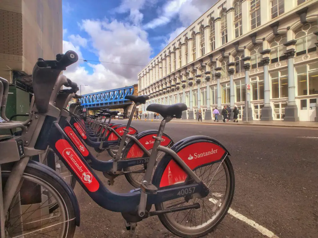
Bikes
London offers very extensive bike superhighways and Santander Cycles to rent all around the city. With 750 docking stations, Santander Bikes are the most well known bike rental system.
Network Facts
There are 750 docking stations around London and approximately 170 miles (274 kilometers) of cycle lanes, dedicated paths, and roads across the city.
Daily Ridership
With an average of around 30,000 journeys per day, these bikes have become an integral part of London’s daily commute.